 In principle and in practice
Another way we may be inadvertently changing how we see the world.
Two students came up to our tutoring consultant last week and asked, breathlessly, “Do you really use maps?” –meaning maps printed out on paper. Of course he does, as we all do; in fact our navigator’s main job depended on the careful use of charts, with the ship’s track and positions laid out on paper. What surprised our staff was the fact that the students thought this highly unusual. We hadn’t realized how much the smartphone app had replaced any use of physical maps for most people.
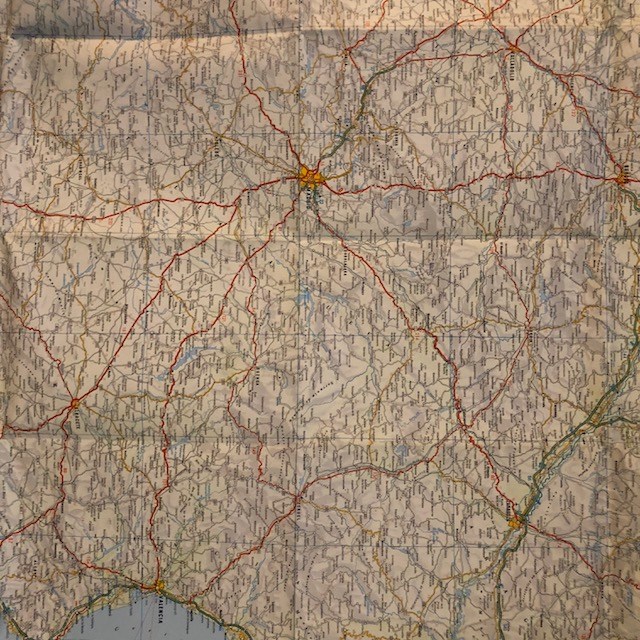
In principle, of course, the electronic map is much superior to the paper form. You can carry around a room-full of maps in one hand, zoom in and out to any scale, call up libraries worth of linked information, all up to date. (A major job of a paper-chart navigator is keeping track of the changes to his charts, a time-consuming and nit-picking task. And even folding an old-fashioned highway map was not easy.) In the hands of a professional, electronic maps are enormously powerful tools.
These students are not professionals, however. They use their smartphones for turn-by-turn driving directions and a small view of the nearby streets. However capable the machines, it appears to us that this leads to a different way of thinking about the physical space around us. A large laid-out map gives the spatial relationship between everything it depicts, on all the scales it covers. Arguably, a good map was the most densely-packed of all pre-electronic ways to store information. It was at least two-dimensional and often included several more. Viewing the world through a smartphone screen and a set of verbal directions is essentially one-dimensional.
We haven’t always navigated from maps. An historian once remarked (in a book we cannot, unfortunately, locate at the moment) that in Medieval times the great majority of people had never seen one. Thus they lacked our apparatus to place distances and spatial relationships in a common context. They certainly had ways of navigating, traveling to the market or the cathedral town for a festival; people were not restricted to their own village, even way back then. They probably used things like the itineraries that have survived, listing the towns and distances along the route to Canterbury or the Great North Road. But we suspect that some of the traveling disasters we hear about (failed Crusades, for example) happened because those involved had no idea of how their sets of one-dimensional driving directions might relate to each other.
Electronic maps are great things in principle. How are you using yours?
